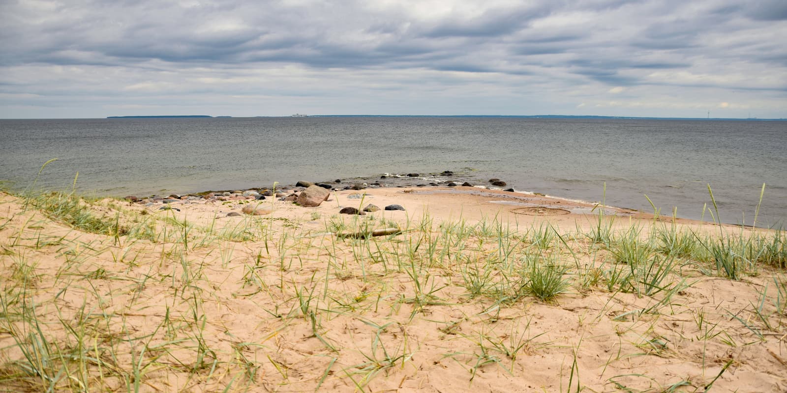
Naissaar’s misfortune, and its fascination, is its position. It lies across the mouth of Tallinn Bay like a breakwater, so every power that held Tallinn wanted the island as well. The result is nine centuries of history packed into nineteen square kilometres of forest.
“Island of women”
The Estonian name means “island of women”, and it may be the Terra Feminarum mentioned by the chronicler Adam of Bremen around 1075. A Danish sailing guide of about 1250 names a landmark called Narigeth, and in 1297 the Danish king Erik Menved forbade the felling of the forest on the island’s hill so that it would remain a seamark. For medieval Tallinn the island was town forest and horse pasture.
The coastal Swedes
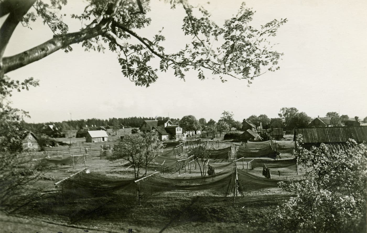
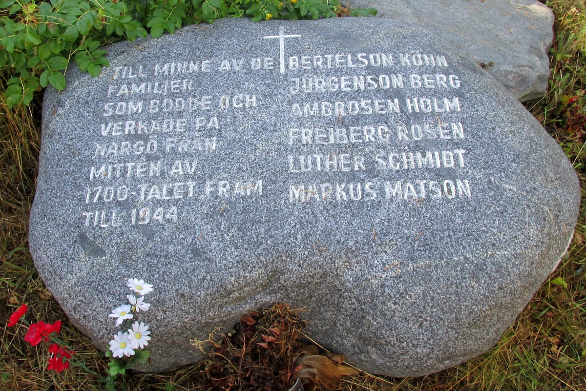
The islanders themselves enter the record in 1469: Swedish-speaking fishermen, seal hunters and ship’s pilots, part of the coastal-Swedish culture of Estonia’s islands. They called their home Nargö. From 1561 to 1710 the island belonged to the Swedish crown; then, with the rest of Estonia, it passed to the Russian tsar. The village of Lõunaküla (Storbyn) remained Swedish in speech and custom, and in the 1850s the islanders built themselves a chapel attached to the Swedish parish of St Michael in Tallinn.
Timeline
| Date | Event |
|---|---|
| c. 1075 | Adam of Bremen mentions a Terra Feminarum, possibly Naissaar |
| 1297 | King Erik Menved of Denmark bans felling of the island’s forest |
| 1469 | First records of the island’s coastal-Swedish inhabitants |
| 1705 | Sweden builds a small fort during the Great Northern War |
| 1720 | Russia builds a five-bastioned fort |
| 1788 | First lighthouses on the northern and southern tips |
| 1854–1855 | British and French fleets hold the island during the Crimean War |
| 1879 | Bernhard Schmidt, future inventor of the Schmidt telescope, is born on the island |
| 1913–1914 | Islanders moved out; fortress batteries and railway built |
| Dec 1917 – Feb 1918 | Sailors proclaim a “Soviet republic” on the island |
| 1918–1919 | German occupation; prisoner-of-war camp |
| 1934–1938 | New St Mary’s church built and consecrated |
| 1940 | Soviet occupation; civilians removed |
| 1943–1944 | Most islanders flee to Sweden |
| 1944 – early 1990s | Closed Soviet military island; naval-mine base |
| 1995 | Naissaar Nature Park established |
| 2006 | First Nargenfestival |
| 2018 | St Mary’s church reconsecrated |
Forts, fleets and a picnic
The first fortifications were modest. Sweden threw up a small fort in 1705, during the Great Northern War; the victorious Russians replaced it in 1720 with a five-bastioned earthwork to protect the approaches to Tallinn and St Petersburg. In June 1808 a Russian cutter fought a British frigate off the island’s northern point. During the Crimean War the British and French fleets simply moved in for the sailing seasons of 1854 and 1855, using Naissaar as a base to blockade Tallinn; their dead lie in two small cemeteries on the island.
By the end of the 19th century the island had a gentler reputation. In 1897–1898 nineteen building plots were measured out and handsome summer villas went up, with their own landing stage north of the present harbour.
Peter the Great’s Naval Fortress
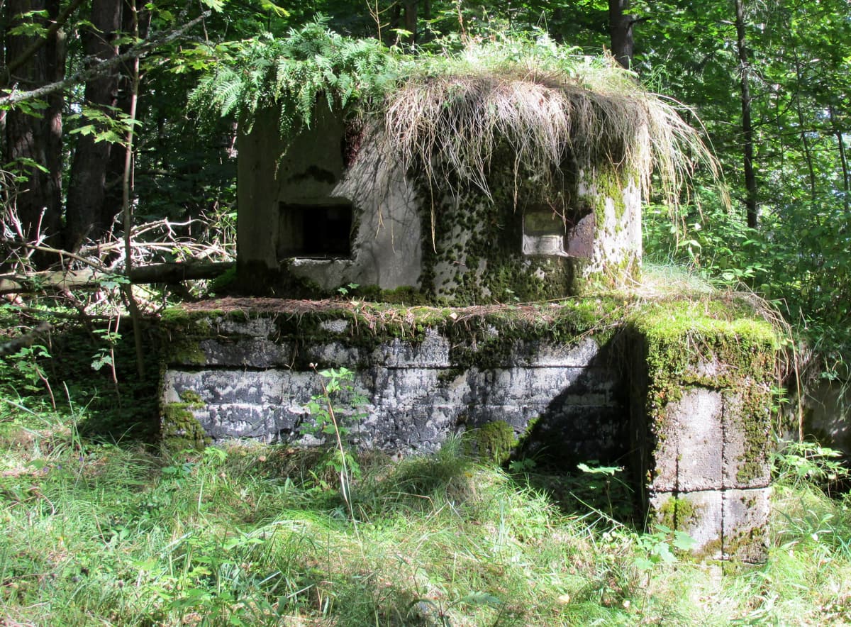
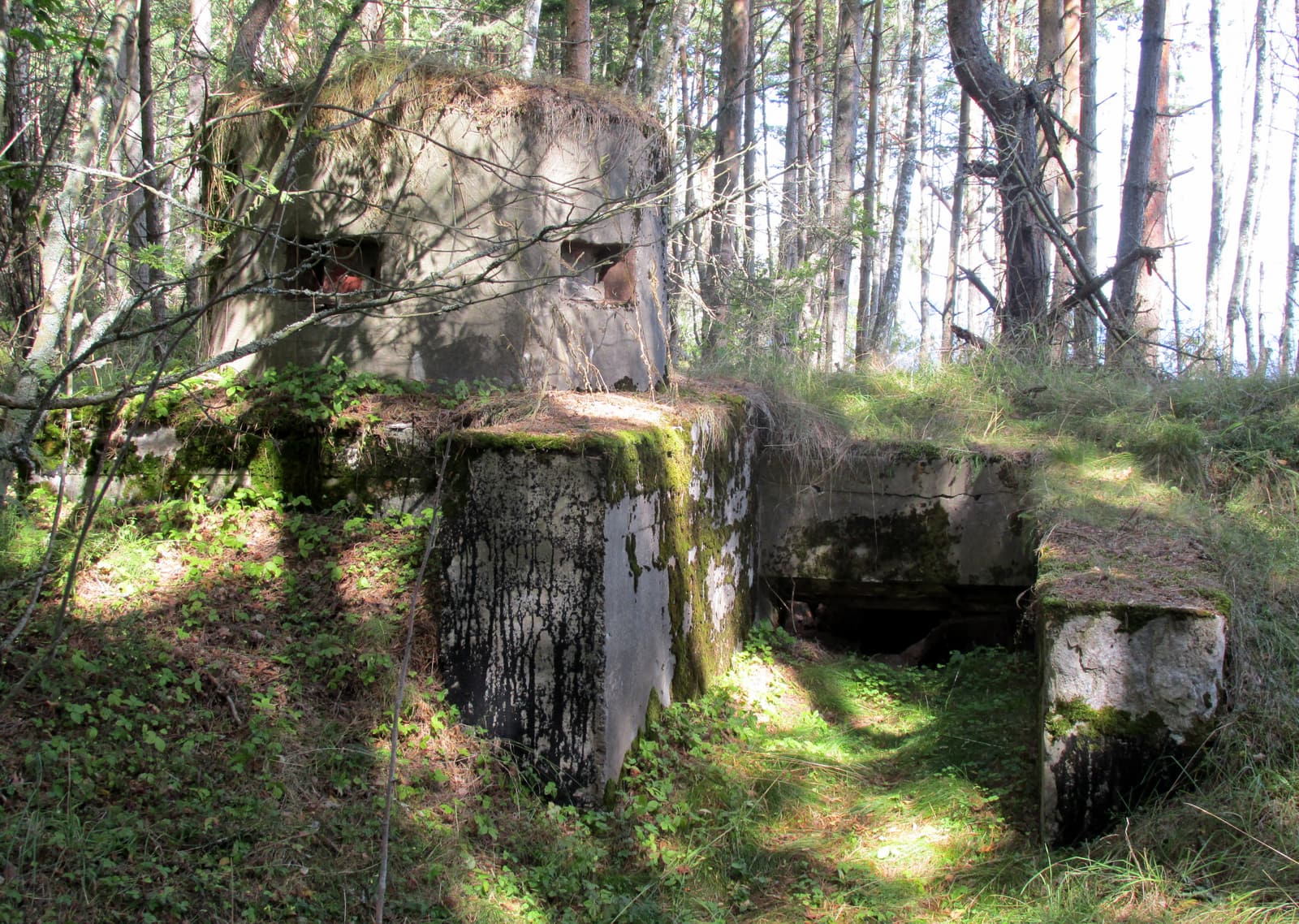
That idyll ended in 1913. After its defeat by Japan, Russia set out to seal the Gulf of Finland with a line of heavy guns between Tallinn and the Finnish shore — Peter the Great’s Naval Fortress. Naissaar was a principal position. The civilians were sent away with compensation for their homes, their fishing and their sealing; harbours were dug, a narrow-gauge railway of some forty kilometres was laid, and a string of concrete batteries rose in the forest.
The sailors’ republic
The most curious episode followed the Russian revolutions. In December 1917 the eighty or ninety sailors of the island garrison, men from the battleship Petropavlovsk, declared Naissaar an independent state: the “Soviet Republic of Soldiers and Fortress-Builders” of Nargen. They elected a council of people’s commissars, chaired by the anarcho-syndicalist Stepan Petrichenko, adopted the black-and-red flag and the Internationale as anthem, named the south village their capital and talked of issuing money.
The republic lasted until 26 February 1918, when German troops landed. The sailors left for Helsinki and Kronstadt, blowing up fortifications as they went. Petrichenko would reappear three years later as the leader of the Kronstadt uprising against the Bolsheviks.
Between the wars
The Germans ran a camp for prisoners of war and political prisoners on the island in 1918, and during Estonia’s War of Independence it continued as a prisoner-of-war camp into 1919. With peace the islanders came home. Naissaar became a parish of the Republic of Estonia with its own commandant’s office; the Estonian army kept two batteries and the railway in service. In 1934 the census counted 449 people — 291 Estonians, most of them soldiers, and 158 Swedes — and that year work began on the new wooden church.
War and exile
The Soviet occupation of 1940 turned the island back into a military zone and the civilians were removed. Under German occupation from 1941 they were allowed to return, but as the front came back in 1943–1944 almost all the Swedish families crossed the Baltic to Sweden. Five hundred years of settlement ended in a few months.
The closed island
For the next half-century Naissaar belonged to the Soviet military. The navy built a depot and assembly works for sea mines in the middle of the island — often described as the largest in the Baltic — and a garrison village at Männiku. The north held a naval signals unit, an air-defence missile base and a border-guard post. Apart from the lighthouse staff, no civilians lived here, and outsiders were kept away.
Return
When the Russian forces withdrew in the early 1990s they burned the explosives out of the remaining mines and left thousands of empty casings behind. In 1995 the entire island became a nature park. Descendants of the Swedish families returned to restore houses and the church, which was reconsecrated in 2018; the railway was partly rebuilt; and since 2006 the conductor Tõnu Kaljuste’s Nargenfestival has brought music to a barn in the woods. Naissaar today has ten or so permanent residents and, for the first time in a century, an open door.